Table of Contents
Introduction
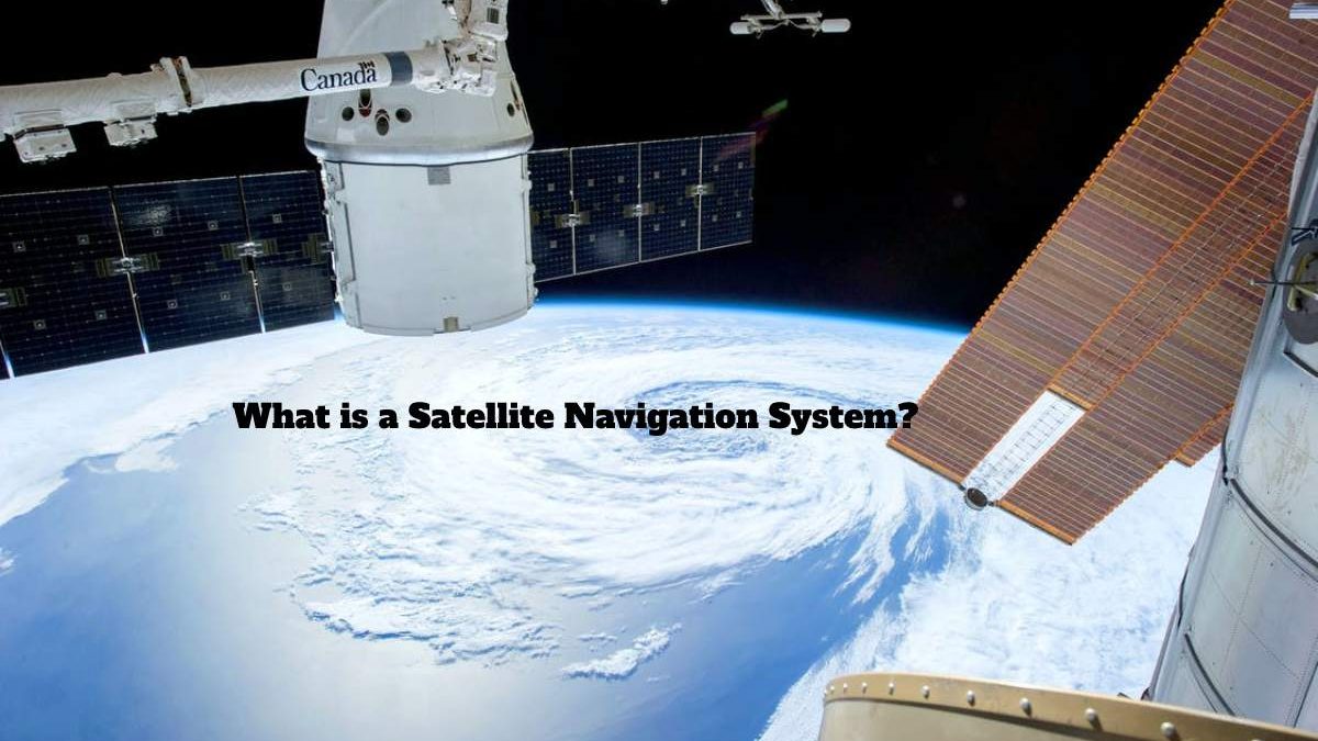
Satellite Navigation System is a system that uses satellites to find the geographical location of an object. Satellites are located in specific orbits around the Earth, locating receptors (users).
Until we get to any new destination we want, we often use the Google Maps app on our phones, and we track the paths it charts with complete accuracy until we get to our destination. Have you ever thought about how this feature works to secure directions accurately up to the goal?
The tracking system uses geospatial position satellites for an object based on encrypted navigation messages, information sent by satellite (space segment) to the user segment after the satellite obtains navigation data from ground stations (control segment).
What Makes The Navigation System So Efficient And Accurate?
Global Navigation Satellite System (GNSS)
The global satellite navigation system refers to the range of satellites that transmit signals from space to send navigation. And positioning data to terrestrial receivers.
representation of different devices that send signals to satellite receptors
The satellite navigation system provides comprehensive coverage with the aim of geolocation. Gps has become so common that people think that every satellite navigation system is gps-powered, but that’s not true, as we’ll explain next.
The Most Crucial Satellite Navigation Systems For Many Different Countries:
Gps: the American satellite system, which has been in power since 1978, provides users with location, navigation and time control services, consisting of 3 parts, space segment, console and user device.
Indian Regional Satellite Navigation System (IRNSS): Known as Navlc, a regional navigation system developed by India to provide location information service to users from India. Serving users within a 1,500 km radius of the Indian subcontinent, work began in July 2013.
Quasi-Zenith Satellite Navigation System (QZSS): Japan’s navigation system, consisting mainly of satellites in quasi-zenith orbits (QZO), commonly known as Japanese GPS, began operation in November 2018.
Galileo: The EU system, launched in 2011, provides European users with timing and positioning service information.
BeiDou: Chinese navigation system, launched in October 2000.
GLONASS (Global Navigation Satellite System): Russian navigation system was launched in October 1982.
Now that we have learned of other satellite navigation systems other than GPS let’s discuss how sensitive information is shared between the future and the satellite transmission system. First, we are all familiar with the term message, which is helpful because satellites use the same term for communication.
Navigation Message Message
It is a message that the satellite sends to the user after receiving data from the ground control station. There are three sets of data to locate and speed satellites transmitted through the navigational message: almanack data, broadcast ephemerides. And precise ephemerides (ephemeride calendar refers to information about a celestial location object in a specified period). In addition, satellite messages are transmitted through rinex’s different exchange format, which is the coordination for exchanging satellite navigation systems data.
But how does it decrypt these messages? To decipher any code or even a simple message, we must have information to format this message, and Linux is the format in which navigation messages are transmitted.
Receiver Independent Exchange Format (RINEX)
Bern University’s Astronomical Institute has developed lines to simplify the exchange of GPS positioning data collected in the future.
RINEX HAS THREE VERSIONS, THE MOST RECENT OF WHICH IS RINEX 3.03, AN UPGRADED VERSION OF THE THIRD VERSION.
Now that there are many satellite navigation systems, some may think it’s challenging to differentiate them and classify them accordingly.
Let’s explain this with two examples of navigation messages from two different navigation systems (both from Linux 3.03):
So can you determine the navigation system to which these navigation messages belong? If your answer is no, don’t worry, we’ll decipher together.
If we look at the beginning of the first letter, it starts with the letter E. Which indicates the European Union, which means it’s from galileo. The second letter begins with the letter J. Which symbolizes Japan, i.e. it belongs to the Japanese quasi-Zenith regime.
We now know that different systems send different navigation messages encrypted according to a specific plan. So we need to understand how to identify the notice given. And also, then use specific algorithms to decrypt it (using the usual data structure concept).
Returning to google maps, which uses GPS GPS, the user sends signals to the satellite via his device asking him to determine the direction to reach a specific destination. The satellite receives these signals and uses satellite imagery. The satellite sends a navigation message to the user’s device in an encrypted format and then decrypts this message through the app to lead us to our destination.
Conclusion
Satellite navigation is a system that relies mainly on the satellite for its commercial and strategic applications. It is critical to national security. As this technique can help locate hostile parties and map specific areas.
Therefore, this system revolutionized navigation and positioning. And also, after realizing how important and influential the plan was, states sought to gradually develop their navigation systems, avoiding dependency on foreign states.